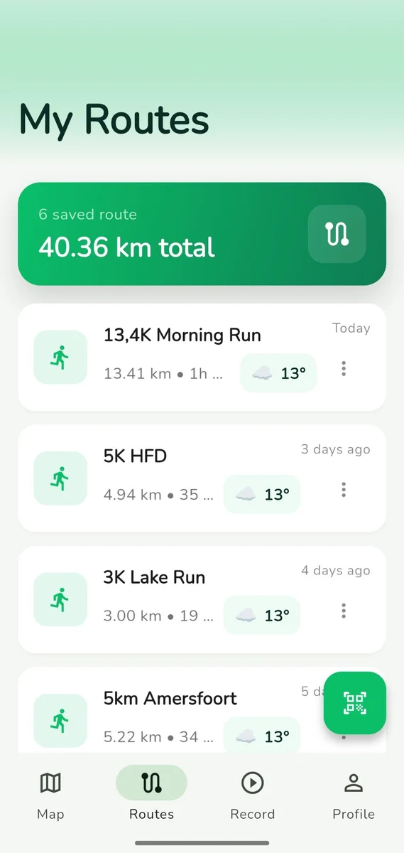
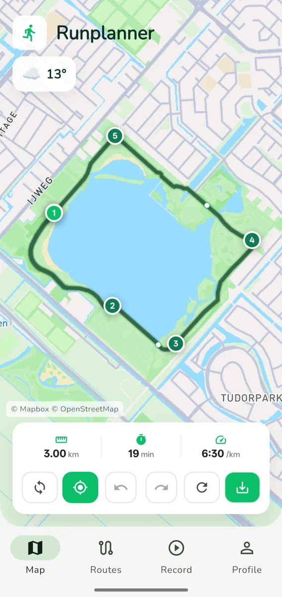
Tap waypoints on a map, watch your route snap to real roads and trails. Then run it with turn-by-turn navigation.
Launch Runplanner and explore your area with beautiful, detailed maps.
Place markers anywhere. Your route snaps to roads and trails automatically.
See real-time distance, estimated time, and pace calculations as you build.
Start your run with turn-by-turn navigation, or export to GPX for your watch.
A clean, focused interface that gets out of your way and lets you plan
Tap anywhere to start planning
All your routes, organized
Distance, pace, elevation
Routes snap to real roads and paths powered by OpenStreetMap. No more jagged lines.
Get live guidance while you run. Street names, turn directions, and off-route alerts keep you on track.
Set your target distance and get a loop back to your starting point. Great for exploring new areas.
Check the forecast and elevation profile before you head out. Know what to expect on your route.
Build structured training sessions with warm-up, intervals, and cool-down segments on your route.
Tired of apps tracking your every move? Your routes stay on your device — we never see them.
Tap on the map to place waypoints. Watch as Runplanner snaps your route to real roads and paths.
Tap anywhere on the map to place waypoints. The route will automatically snap to roads.
Drop your email and we'll let you know when Runplanner launches on Google Play.
We'll only email you about the launch. No spam.